


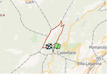

5.4 km | 12.3 km-effort


User


FREE GPS app for hiking
 SityTrail
IGN / Geographical institutes
SityTrail World
The world is yours!
Trail Walking of 11 km to be discovered at Trentino-Alto Adige/Südtirol, Provincia di Trento, Villa Lagarina. This trail is proposed by lopic125.
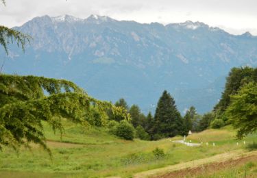
Très belle rando à pieds (VTT impossible). Une montée à l'ombre, une marche sur la crête peu exposée avec une vue magnifique.


On foot
On foot
On foot

On foot

On foot

On foot
On foot
On foot